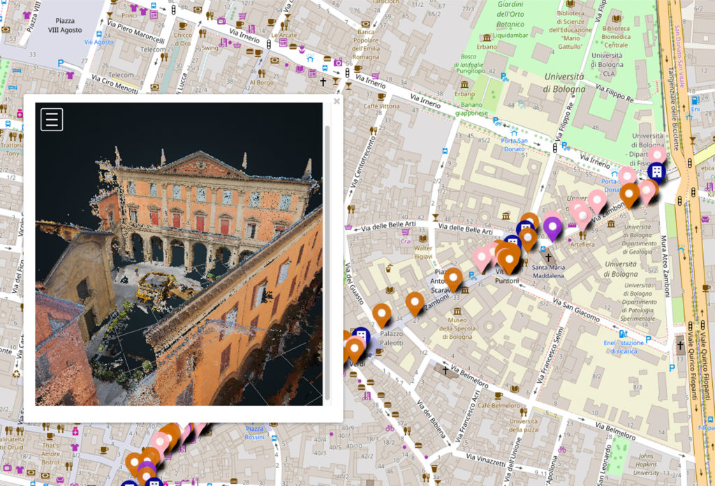
MUP Web-GIS

Project coordinator: Valerio Francia
The web-GIS MUP – Mapping Urban Perception provides information on urban perception of city spaces in relation to public life. MUP allows not only to explore the urban environment through 5 dimensions, but also to monitor urban policies adopted by the municipalities in relation to citizens’ needs and critical issues.
Thus, MUP defines and monitors responsible uses of public space promoting greater awareness among its users on sustainable development. In this way values and a sense of responsibility towards the environment and the community are encouraged, fueling the search for human well-being.
It has been tested on a street in the city center of Bologna (Italy), via Zamboni, but it could be implemented for other consolidated areas or suburban neighborhoods.
The web-GIS MUP is a tool developed since 2016 as part of Valerio’s Master Thesis and some of its parts are the results of research activities carried out at the Silab laboratory of the Department of Architecture of the School of Engineering and Architecture of the University of Bologna. Some aspects of MUP have been developed and deepened within the activities of the New Paradigm / New Tools project coordinated by CIMS – Immersive Media Studio of Carleton University (Ottawa, Canada) and carried out in collaboration with the cultural association City Space Architecture with headquarters in Bologna. In particular MUP integrates some three-dimensional models with point clouds generated by digital photogrammetry, realized by James Arteaga, intern of the New Paradigm / New Tools project.
Below you can explore the Urban Perception in via Zamboni, Bologna (Italy)


